
Chapter 9: The Changing South
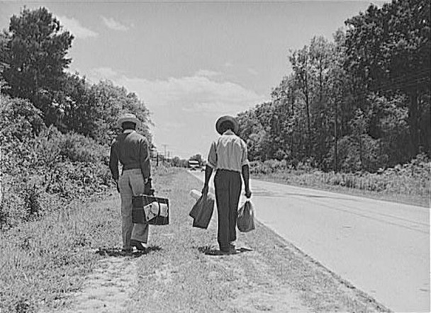
Unlike the south, San Francisco does not have any plantations, but there is an abundance of crops, such as the vineyards of Sonoma County, and the garlic of Gilroy in Santa Clara County. Slavery was abolished with the passing of the 13th Amendment in 1865. California was not considered a slavery state and was offered a safe haven because it was a free state. After slavery was abolished many migrated out of the south and into other regions of the United States, including California. What attracted them to the bay area were the abundant labor opportunities, and the economic diversity. The bay area also offered a pleasant place to live in because of the weather and the sorrounding beaches and ports. The bay area was also not effected by the dust bowl.

Chapter 8: Appalachia and the Ozarks
San Francisco does not compare to the forestry and rugged terrain of the Appalachia and the Ozarks. Twelve miles from San Francisco, there is a preserved forest called the Muir Woods National Monument. It is the closest forestry near San Francisco. Muir Woods is the home of the tallest tree, the Coast redwood, Sequoia sempervirens.
Source:
wikipedia.org/wiki/Muir_Woods_National_Monument


Source:
wikipedia.org/wiki/Muir_Woods_National_Monument
Another place near San Francisco is the Calaveras Dam, located at the Alameda-Santa Clara County line. The dam and resevoir is owned by the city and county of San Francisco. The dam is a 230 foot high barrier which holds the largest drinking water reservoir in the 9 county region. Since its location is on an active fault zone, dam regulators drained the reservoir to about a third of its capacity.
source:
Chapter 7: The Bypassed East
The Bypassed East is cold, receives a good amount of precipitation, and is mountainous.The Bypassed East and San Francisco are similar except for the mountains. San Francisco averages 57.3 degrees Fahrenheit annually. San Francisco has an annual average precipitation of 22.28 inches with the wettest month being in January with 4.72 inches (www.idcide.com). Among major U.S. cities, San Francisco has the coldest daily mean, maximum, and minimum temperatures for June, July and August.

The Bay Area is in a high traffic, high population location it would be hard to set up a farm close to the City. According to the San Francisco Urban Agriculture Alliance, San Francisco is at the forefront of urban agriculture in America. The City is working on legislation to permit urban gardens in all areas of San Francisco and the sale of all produce grown in those gardens. Some factors that prevent the Bay area from having a lot of agriculture are that it is covered with buildings and there is high pollution. Solano County and Sonoma County are places in the Bay area that have agrucultural land.

The Bay Area is in a high traffic, high population location it would be hard to set up a farm close to the City. According to the San Francisco Urban Agriculture Alliance, San Francisco is at the forefront of urban agriculture in America. The City is working on legislation to permit urban gardens in all areas of San Francisco and the sale of all produce grown in those gardens. Some factors that prevent the Bay area from having a lot of agriculture are that it is covered with buildings and there is high pollution. Solano County and Sonoma County are places in the Bay area that have agrucultural land.

Chapter 5: The North American Manufacturing Core
San Francisco is not part of the North American Manufacturing Core, but there is still some employment in manufacturing present in San Francisco. The location of San Francisco means that there should be an easily flow with the means of transportation and communication. The railway system is the Bay Area Rapid Transit (BART) which helps people commute in and out of the City. The central part of BART is San Francisco of course because of all of the office space that dominate the financial districts.

Some famous manufacturing include: Levi's Jeans, New United Motor Manufacturing, Inc. (NUMMI) was built by General Motors and used to manufacture cars such as the Chevy Nova, Geo Prism, and Toyota Corolla.


Some famous manufacturing include: Levi's Jeans, New United Motor Manufacturing, Inc. (NUMMI) was built by General Motors and used to manufacture cars such as the Chevy Nova, Geo Prism, and Toyota Corolla.

Chapter 4: Megalopolis

Megalopolis is region made up of several small cities and their surrounding areas in sufficient proximity to be considered a single urban complex (Regional Landscapes of the United States and Canada). The Megalopolis that stretches the California coast from the San Francisco Bay area to Sand Diego is known as SanSan. One of the reasons that characterizes San Diego as a megalopolis is that it has the San Francisco Bay which is easily navigable for ships, Port of San Francisco which has been considered a natural harbor, and the Bay is spanned by six bridges (Golden Gate, Bay Bridge, San Mateo Bridge, Dumbarton, Richmond-San Rafael Bridge, and the Carquinez). Another reason is with the Pacific Ocean as a route to Asia, the Bay Area has been a stop for freight liners to drop off their cargo. San Francisco serves as the regional hub for many arms of the federal bureaucracy, including the U.S. Court of Appeals, the Federal Reserve Bank, and the U.S. Mint.

Source:
http://en.wikipedia.org/wiki/San_Francisco
Chapter 3: Foundations of Human Activity

The Yelamu group of the Ohlone people resided in several small villages when a Spanish exploration party, led by Don Gaspar de Portolà arrived on November 2, 1769, the first documented European visit to San Francisco Bay. Seven years later, on March 28, 1776, the Spanish established the Presidio of San Francisco, followed by a mission, Mission San Francisco de Asís. Despite its attractive location as a port and naval base, San Francisco was still a small settlement with inhospitable geography.

When the Gold Rush hit California, San Francisco was a port of entry for people who came to the area to try and find gold. The Gold Rush propelled the city into a period of rapid growth which transformed the city into on of the largest city in the west coast at that time.

After World War II, the confluence of returning servicemen, massive immigration, liberalizing attitudes, and other factors led to the Summer of Love and the gay rights movement, cementing San Francisco as a center of liberal activism in the United States.
http://en.wikipedia.org/wiki/San_Francisco
Chapter 2: Geographic Patterns of the Physical Environment


http://en.wikipedia.org/wiki/San_Francisco
Chapter 1: Regions and Themes

Source:
http://en.wikipedia.org/wiki/San_Francisco

Subscribe to:
Posts (Atom)